Virginia’s tidal waters are a vital resource for the state, access to this coast is utilized by residents and visitors to the state for recreation and business purposes. It is the responsibility of the Virginia Department of Wildlife Resources to help maintain access to these waters for recreational boaters. Continuing sea level rise is a threat to this access.
As part of his Commonwealth Coastal and Marine Policy Fellowship with DWR Clay Ferguson, a Virginia Tech Ph.D. candidate, conducted a pilot study on when sea level rise would render the agency’s properties unusable. The fellowship, sponsored by Virginia Sea Grant and the Virginia Environmental Endowment, is a one-year post-graduate fellowship that places graduates from Virginia schools in state agencies — increasing their capacity and giving young professionals on-the-job training while improving the stewardship of the Commonwealth’s coastal and marine resources.
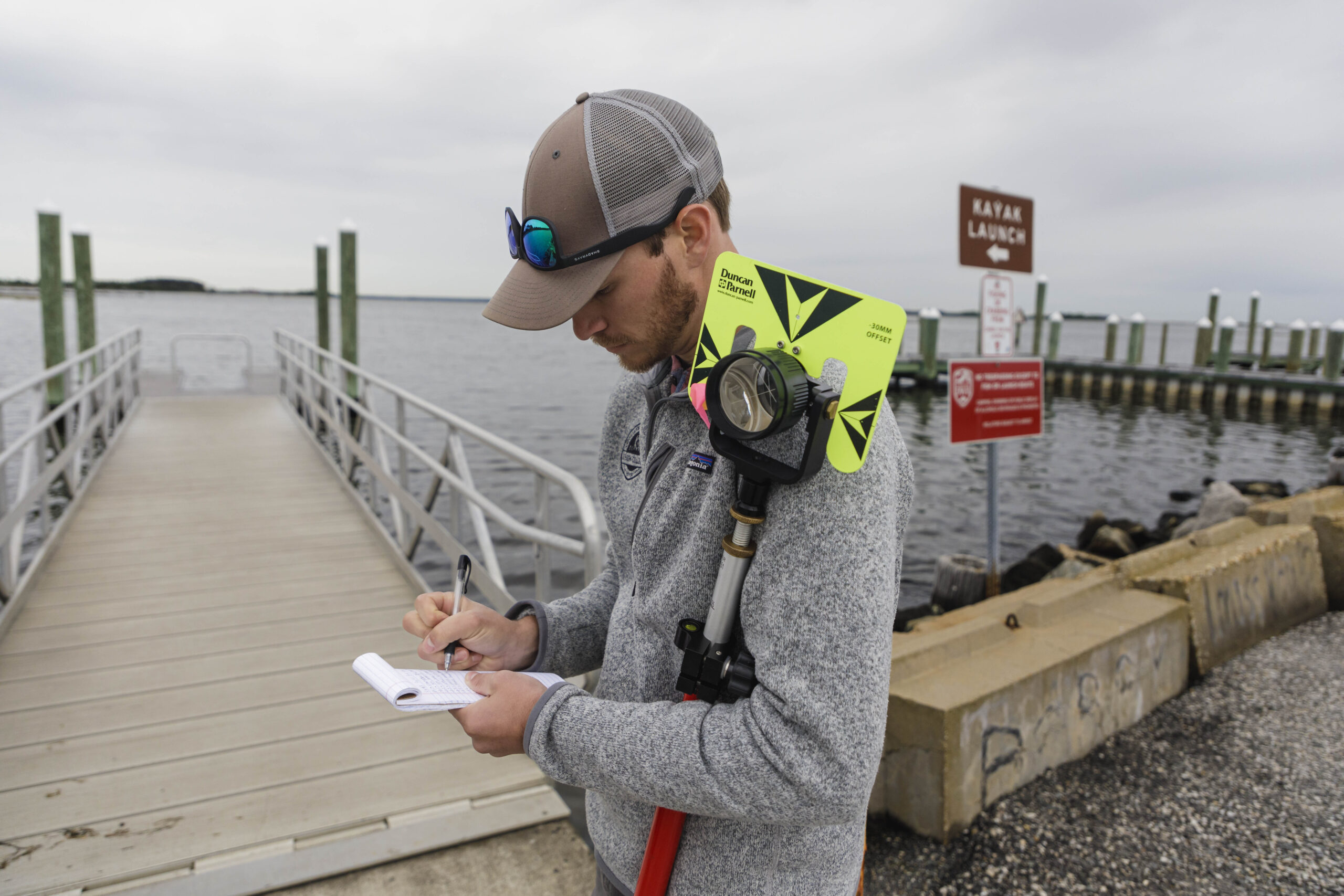
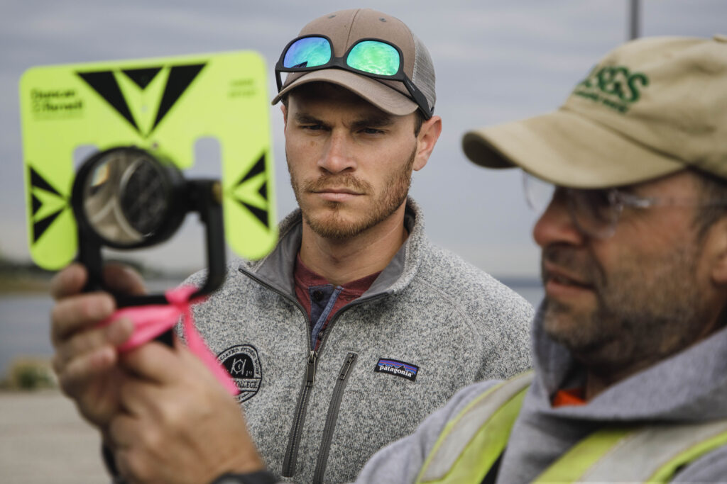
Using a Geographic Information System (GIS), with the assistance of the United States Geological Survey, Ferguson took precision elevation measurements at six DWR properties to gain a better understanding of when saltwater inundation will happen.
“What we want to do is get a more high precision estimate of when exactly that inundation event might occur,” Ferguson said. “If boaters cannot launch their vessels, cannon retrieve their vessels then that is going to be an issue. So, we’re trying to get ahead and be proactive so that we can start planning.”
One of the objectives of Ferguson’s study is to produce repeatable methodologies that DWR can employ to reduce the saltwater inundation to a one to two-year window down from a ten to 20-year window. Ferguson also wants to help the agency establish protocols to help the process of deciding what actions are best taken at individual properties.
DWR manages more than 50 boat ramps that are under threat from sea level rise as well as other properties that include wildlife management areas, fishing piers, a reservoir and an office. For his pilot study, Ferguson looked at six properties ranging from the Northern Neck to Virginia Beach, five boat ramp locations and an office.
Numerous measurements were taken at each site to give the most accurate estimates of when parking lots, roads, docks and ramps will be inundated by seawater. Ferguson created reports for each site with recommendations to survey additional sites in the future to gain more information about other properties. He also recommended the potential installation of temporary tidal gauges to increase the precision for sites not located near existing gauges.
“As Communities want to protect assets…in the future they’ll have the data to make climate-informed decisions,” said Ferguson. “We want to make sure we’re all looking at this now and planning forward for the future so that communities do not lose access to marine resources, the incredibly valuable resources.”